11 SO STONE MILL DR 713
Owner Information
WEISS PHILIP M ETUX
11 SO STONE MILL DR U 713
DEDHAM, MA 02026


Property Details
11 SO STONE MILL DR 713 is classified as a Condo NL MDL-05 (Condominium).
The primary structure on this property was built in 1987. There are 2,362ft2 of built area within this property. There is 1,722ft2 of residential/living space within this property. This property is listed as having 5 rooms.
11 SO STONE MILL DR 713 is valued at $466,500. The land is valued at $0 and the structures are valued at $429,900. There is an additional valuation of $36,600 on this property.
The most recent deed for 11 SO STONE MILL DR 713 is recorded at the local registrar in Book 20730, Page 474. 11 SO STONE MILL DR 713 was last sold on Wednesday, March 24, 2004 for $438,000.
Assessment data from fiscal year 2020.
Flood Data
This property is partially within the AE Zone (within floodplain). Approximately 0.59 acres (11.74%) of the property is within this zone.
This information is sourced from the FEMA National Flood Hazard Layer. See our full disclamer.
Broadband Internet Providers
| Provider | Type | Bandwidth (mbps) | |
|---|---|---|---|
| Viasat Inc | Satellite | 100 | 3 |
| RCN | Cable | 1000 | 20 |
| GCI Communication Corp. | Satellite | 0 | 0 |
| HughesNet | Satellite | 25 | 3 |
| VSAT Systems, LLC. | Satellite | 2 | 1 |
| Verizon New England Inc. | DSL | 5 | 0 |
| Verizon New England Inc. | Fiber | 940 | 880 |
| Comcast | Cable | 1000 | 35 |
| RCN | Cable | 500 | 20 |
Broadband service provider data from December 2020.
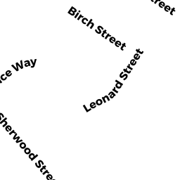
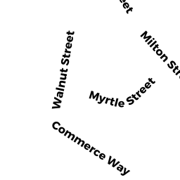
Adjacent Properties
- 34 MILTON ST
MUN VACANT WATER owned by DEDHAM TOWN OF - 164 VETERANS RD
Vacant, Housing Authority owned by DEDHAM HOUSING AUTHORITY - 70 MILTON ST
Other Storage, Warehouse, and Distribution facilities (see also usecode 401) owned by ESM MILTON STREET LLC - 76 MILTON ST
CON & REC MDL-00 owned by COMMONWEALTH OF MASS. - 120 MILTON ST
Single Family Residential owned by MACDONALD LUCY A